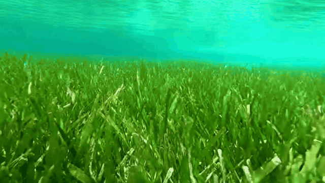
Seagrass meadows are among the most carbon-dense ecosystems on Earth, sequestering carbon up to 35 times faster than tropical rainforests while supporting coastal fisheries and protecting shorelines from erosion. They are also among the fastest disappearing. In the UK alone, an estimated 92% of seagrass has been lost over the past century.
Conventional seagrass monitoring relies on dive-based surveys that are expensive, seasonally constrained, and impossible to scale. A single survey campaign covers a handful of sites over a few days and produces results that are already months old by the time they reach a decision-maker. For conservation programmes and blue-carbon initiatives that need to demonstrate recovery across entire estuarine systems, this approach simply does not keep pace.
To help address this challenge, SensFish Ltd, a UK marine intelligence SME, is developing proprietary environmental intelligence infrastructure for fisheries, coastal ecosystems, and marine restoration applications.
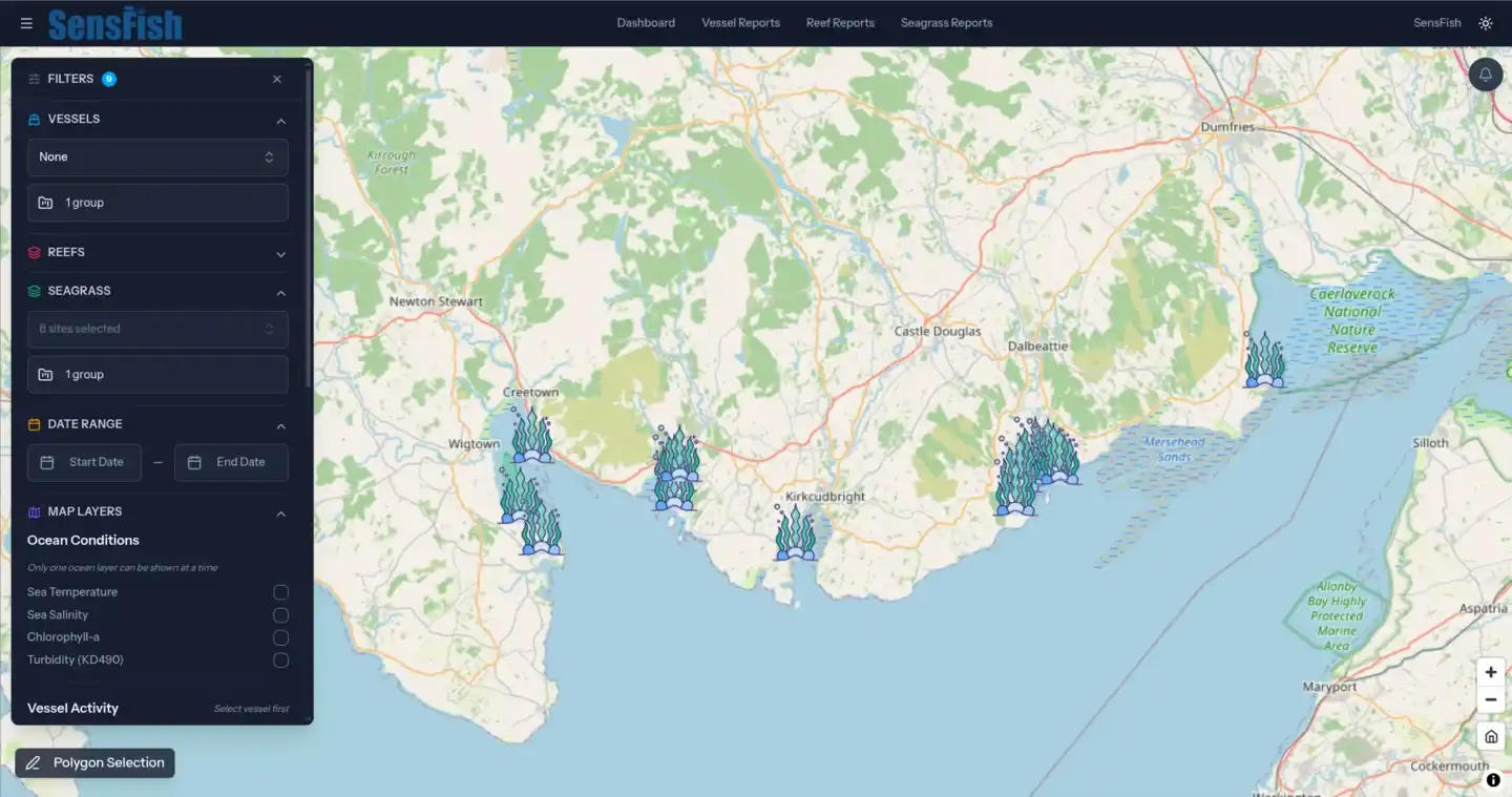
In this project, SensFish led the development of a scalable seagrass habitat intelligence capability integrating satellite Earth Observation, environmental data, and geospatial analytics, for a marine steward of Scotland.
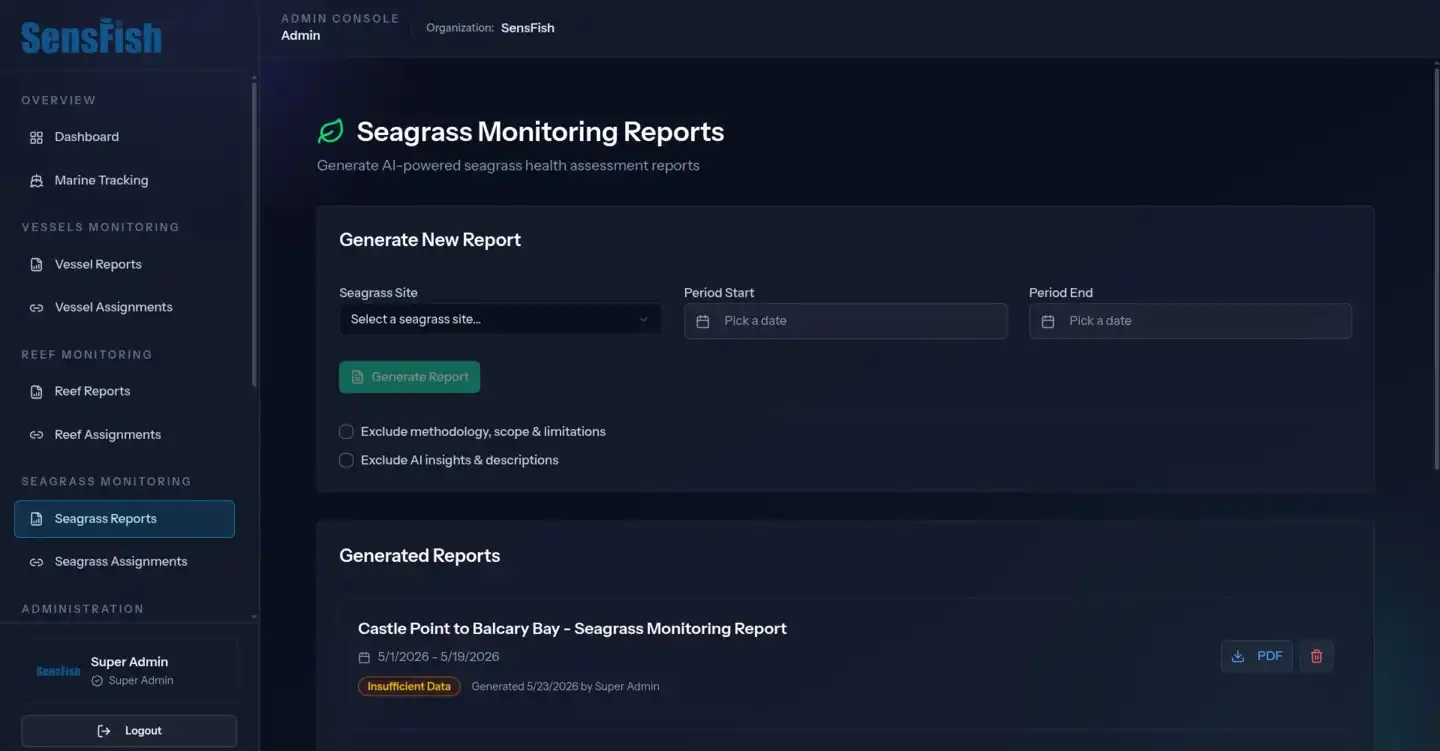
Working alongside the SensFish internal technical and environmental intelligence team, Astro42 contributed to selected engineering and implementation components of the wider SensFish environmental intelligence platform, including aspects of geospatial interface development, dashboard functionality, environmental data integration, and operational reporting workflows.
The project aimed to support the development of a scalable seagrass habitat intelligence capability that could complement traditional physical surveys through continuous environmental monitoring, giving restoration stakeholders more operational, evidence-based visibility for coastal ecosystem assessment and reporting within complex coastal monitoring conditions.