

As the space industry opens up, smaller satellite operators, research institutions and non-space organisations still struggle to get satellite data that is usable and affordable. Many existing solutions are too expensive, too technically complex, or depend on infrastructure most users cannot reach, such as dedicated ground stations and specialised radio frequency setups. Our client set out to deliver satellite data as a service through a scalable, easy-to-use platform that needs no costly hardware or advanced technical knowledge, making Earth observation data practical for users across many sectors.
Space Data as a Service: satellite telemetry without a ground station
The Challenge

The Solution
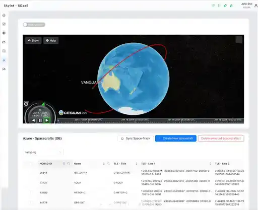
During its incubation at the ESA Business Incubation Centre in Hungary, our client built a Space-Data-as-a-Service platform. The architecture is fully cloud-native and uses AWS Ground Station and Microsoft Azure Orbital for real-time downlink, decoding and visualisation of satellite telemetry. It needs no local infrastructure, so users can work with it regardless of their technical capabilities or location.
The team developed custom signal processing modules and implemented full support for the Packet Utilisation Standard protocol. These proprietary components handle complex satellite data streams accurately and consistently. The architecture is flexible and scalable, so the same platform serves academic research, commercial operations and space technology startups.
The result is a plug-and-play platform. Users need no antennas, radio frequency setup or deep expertise to work with Earth observation data. Working with satellite telemetry becomes as simple as opening a web interface.


The Result
By removing the need for physical ground stations and complex infrastructure, the platform made satellite telemetry far simpler to obtain and interpret. The time required for data acquisition and visualisation fell by more than sixty percent compared with conventional methods. Users can work with satellite data faster and with far fewer resources, which matters most to those outside the traditional space sector.
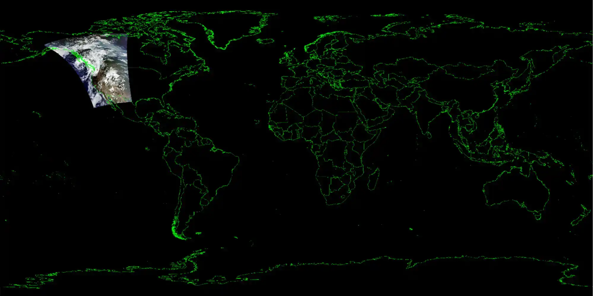
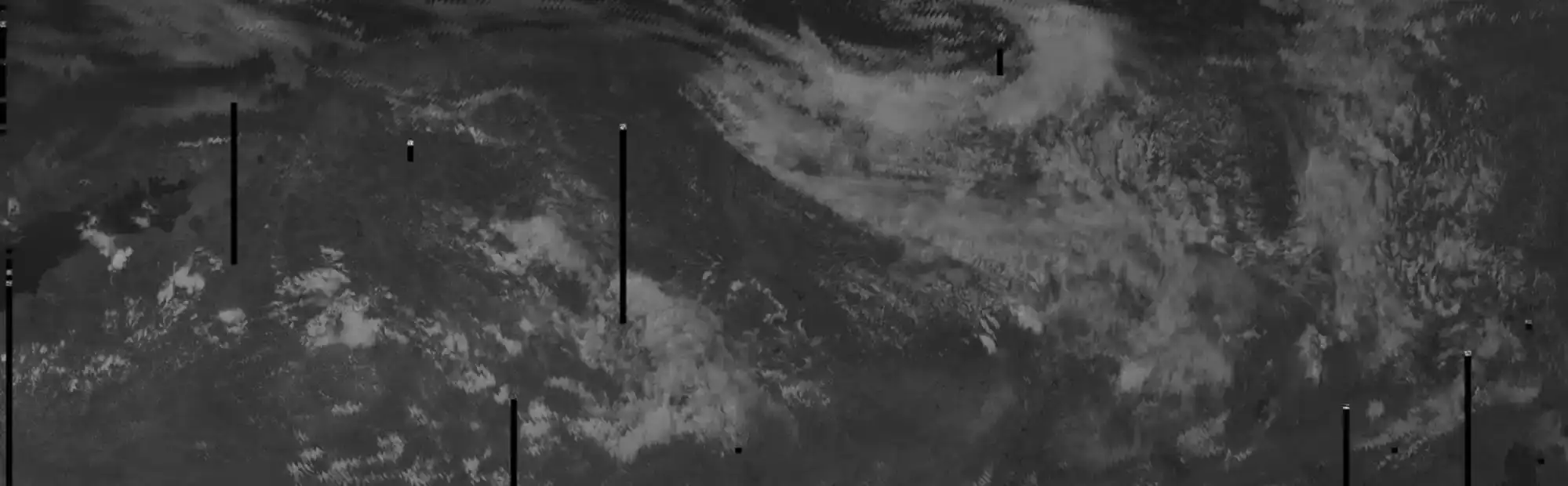
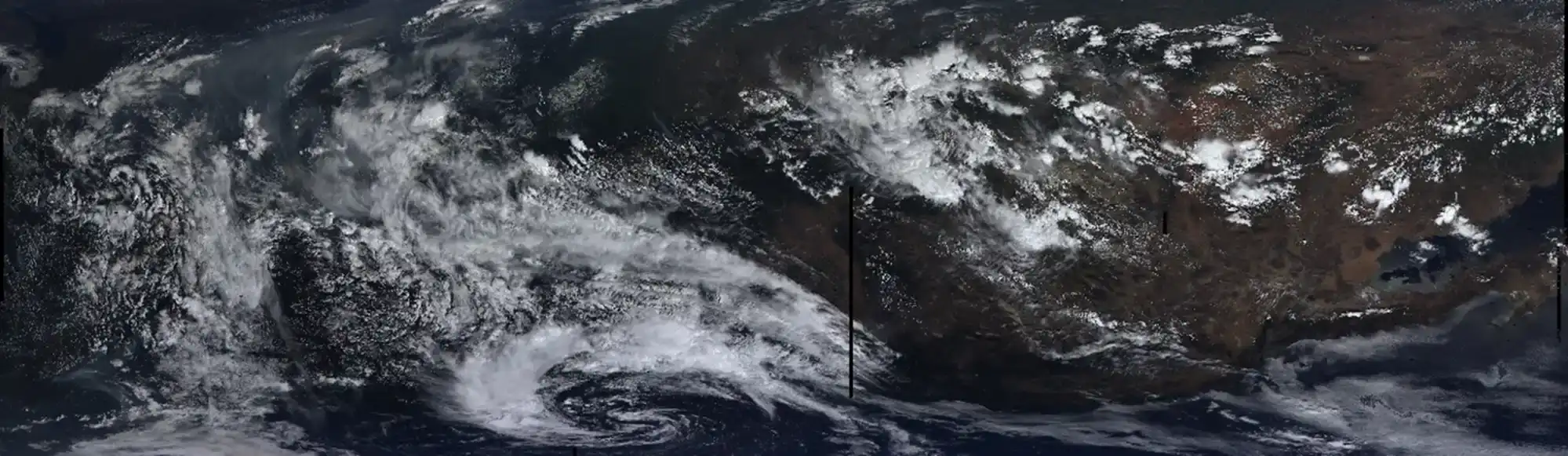
In the proof of concept, more than 50GB of data from the AQUA Earth Observation satellite was downloaded and processed during a single 12-minute pass. Total cloud resource costs over the two-year project came to approximately 1,300 EUR.
The cloud-native architecture and simple interface opened space-based data to researchers, analysts and commercial users who lacked the infrastructure or expertise to use it before. The platform showed that satellite communication and analysis can be delivered in an accessible format without losing quality or reliability.
The proof of concept validated cloud-first ground segment operations and gave the company a technical and strategic foundation for future growth and commercial deployment. It also established the client within the ESA BIC Hungary innovation ecosystem.

Project tech stack


Amazon Web Services (AWS)


Microsoft Azure


PUS Protocol
Long-term wins
Positioned our client early in cloud-first ground segment services
A foundation for scalable commercial offerings worldwide
A contribution to the ESA BIC Hungary community